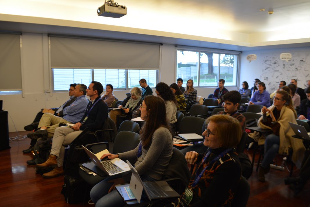
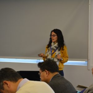
The Interdisciplinary Earth Observation (EO) Land, Ocean, and Atmosphere Workshop, hosted by the UT Austin Portugal Program, was held at INESC TEC and gathered a heterogeneous audience.
On November 11 and 12, senior researchers and practitioners across different fields related to the EO technologies attended the event and made their valuable contribution by providing theoretical sessions and presenting hands-on training modules. The workshop had the scientific coordination of Vasco Mantas, researcher at the Centre for Earth and Space Research of the University of Coimbra (CITEUC), and was attended by 30 participants from industry and academia.
The first day of the workshop began with welcome remarks by Rui Oliveira, National Co-Director of the UT Austin Portugal Program, followed by the presentation of an institutional video addressing the mission and instruments of the Program. Moments later, Luísa Bastos, Area Co-Director of Space-Earth Interactions, had the opportunity to highlight the strategic importance of this area for the UT Austin Portugal Program.
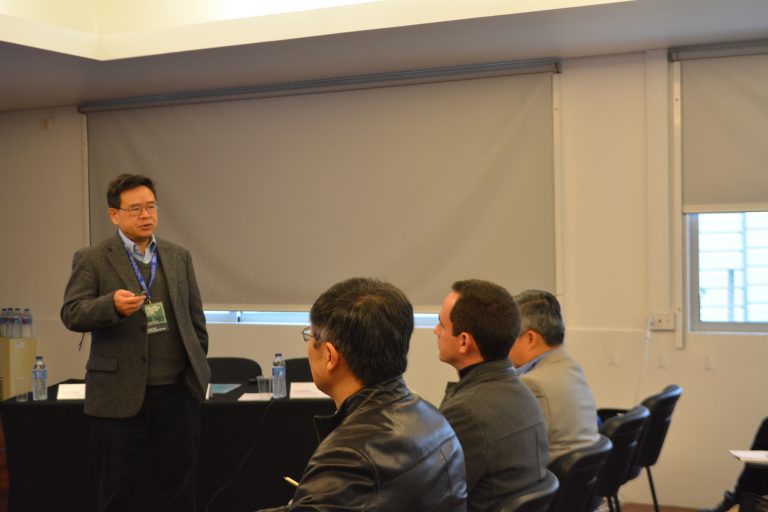
Representing the U.S. Geological Survey, Earth Resources Observation and Science Center (USGS), George Xian introduced by-products of main USGS’ land change products such as the National Land Cover Database and the Land Change Monitoring, Assessment, and Projection initiative. Xian also explained the use of remote sensing data to describe land cover conditions and change.
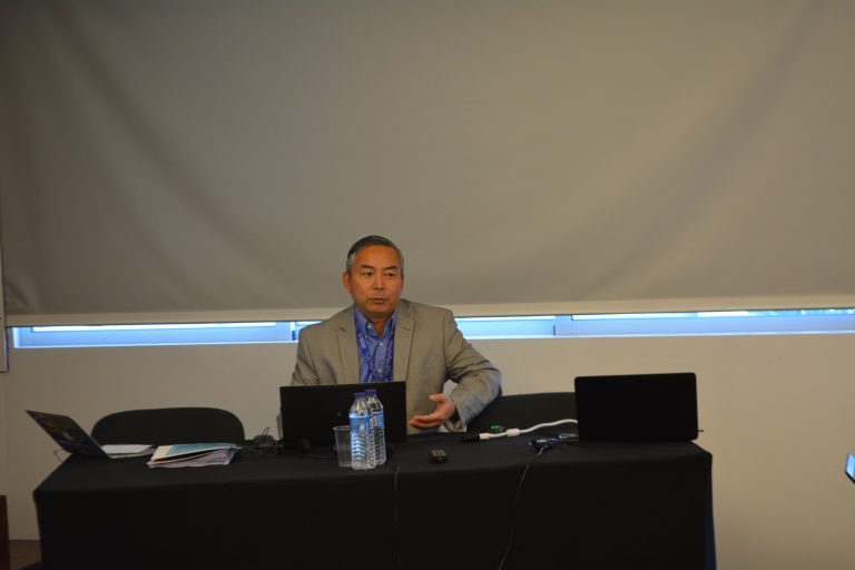
Zhong Liu, from NASA and George Mason University, talked about the history of GES DISC, a unit responsible for managing, archiving and distributing Earth science data as part of NASA’s Earth Science Data Information Systems Program. After unraveling its data holdings and services, Zhong Liu also presented Giovanni, a user-friendly online tool for data visualization and analysis that does not require downloading data and software, and gave an overview of the issues related to the satellite-based precipitation products.
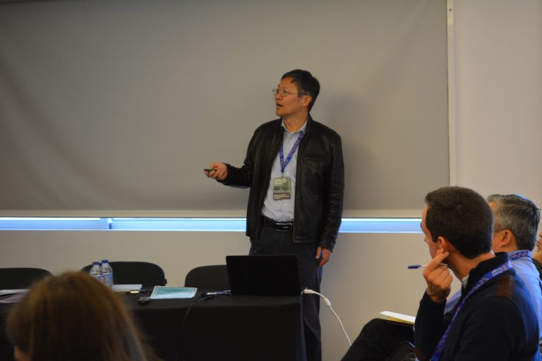
Finishing the alignment of the workshop’s first day, Zong-Liang Yang, from The University of Texas at Austin, revealed a prototype of the multi-satellite land data assimilation system, developed by linking the Community Land Model version 4 and models with the Data Assimilation Research Testbed, which aims to use sensors, on an aggregate basis, in order to produce consistent earth system records.
The second day of the workshop began with Paulo Baganha and Sandra Fernandez, from the University of Aveiro, showing the application of Sentinel-1A with C-band SAR images to retrieve the bathymetry of the Aveiro study site and analyzing the repeatability of the fast Fourier transform methodology in retrieving the nearshore bathymetry.
Afterwards, Koushik Panda, Technology and Business Innovation Expert at Deimos, one of the UT Austin Portugal’s affiliate partners, presented the technology company of the Elecnor group, its EO systems and the European EO Downstream Market and trends.
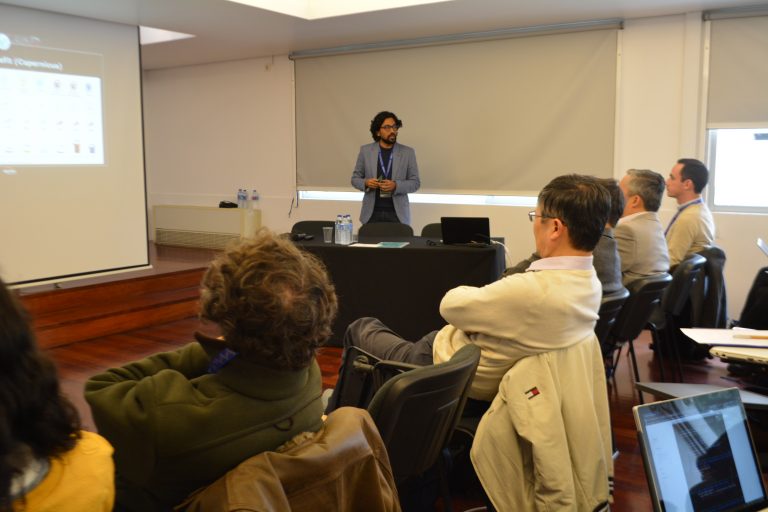
Closing the last day of the workshop, Vasco Mantas explained how distinct variables can influence forest and tree health in a deeply interconnected web of stressors, and discussed the deployment of combined solutions using space, airborne and field actions.
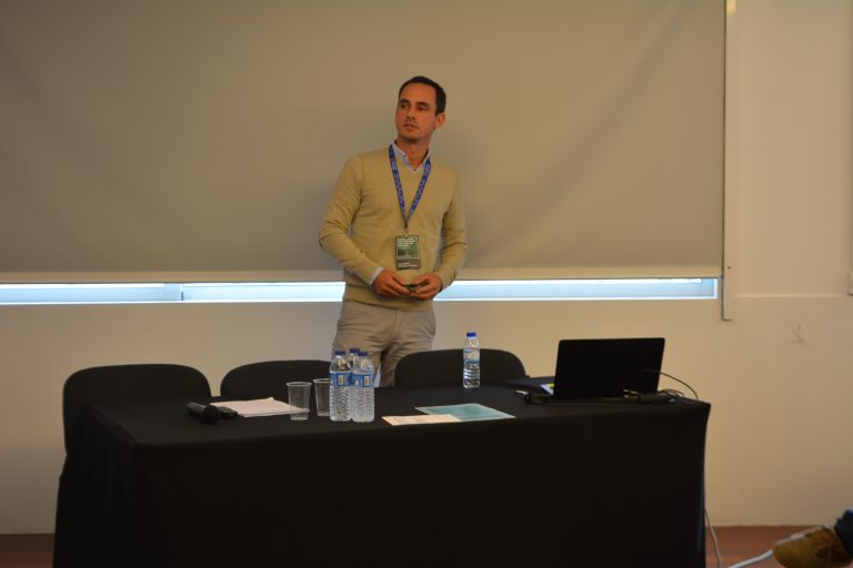
The event, which was organized by the UT Austin Portugal Program and the Area of Space-Earth Interactions, with the support of the University of Coimbra and H2020 project FOCUS, will also be supplemented by a three-month follow-up program, thus allowing registered participants to join and connect with a network of researchers and businesses, identifying needs and creating training opportunities.
“There were many high-quality, informative and engaging sessions. The organizers were very responsive and made it a really nice experience. It was a great day, thanks for organizing it!”, stated Sónia Santos, Assistant Professor from the Polytechnic Institute of Viana do Castelo, at the end of the event.

